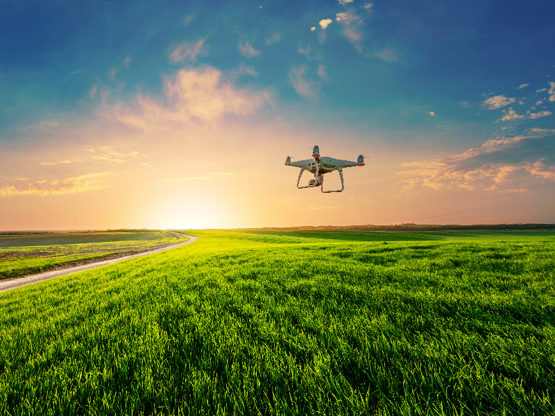
Our Agriculture Solutions
Easy Monitoring
High accuracy Calculation of canopy and individual tree measurement of a forest with remote sensing and done with less time and cost than traditional approaches.
Increase Yield
Help the farmer to take the precaution by predictive analysis of the data gathered and increase the yield and profits without risking the crop.
Redefine Agriculture Pattern
We offer radical transformation while rapidly rectifying the problem with the use of autonomous agents operating in an uncontrolled environment.
Forestry monitoring to estimate the tree density using Drone Technology
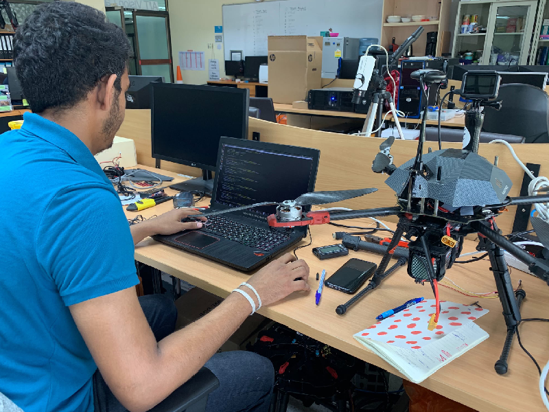
The UAV, commonly known as Drone, has become popular and affordable in many applications to accommodate the hazardous operations or over-specified functions performed by humans. A visible example of UAV usage is the task of video recording or taking a picture in an extremely dangerous environment such as high mountains, or off-the-boat to get the perfect view of scenery.
As some of the operations as such the forestry monitoring ,required a human workforce and large amount of time to accomplish, and a video surveillance system ,with the fixed view and difficult to maintenance, The custom designed Unmanned Aerial Vehicle system proposes a new solution to achieve the tasks with optimum time frame.
As some of the operations as such the forestry monitoring ,required a human workforce and large amount of time to accomplish, and a video surveillance system ,with the fixed view and difficult to maintenance, The custom designed Unmanned Aerial Vehicle system proposes a new solution to achieve the tasks with optimum time frame.
Forestry monitoring the tree growth using Drone Technology
A specific forestry measurement system, with the combination of a video camera, laser scanner, and other sensors, allows the capability of estimating the volume of each tree for the growth rate monitoring purpose in an efficient way.